View across a London residential district showing a mix of Victorian terraces, mansion blocks, and converted flats stretching to the horizon.
Honest London Property Research

I analysed 63,973 London property sales. Here's what nobody tells first-time buyers.

63,973
residential property sales across 50 London neighbourhoods, over three years, line by line.

If you have spent the last month trying to work out where in London to buy your first home, you have probably noticed the same thing I did when I started this work: every property site is in love with every London neighbourhood. Rightmove is enthusiastic about Walthamstow. Zoopla is enthusiastic about Walthamstow. The estate agent in Walthamstow is, predictably, very enthusiastic about Walthamstow. None of them will tell you the area is wrong for you, because none of them earn anything if you walk away.

That is not a conspiracy. It is the business model. Property portals make their money from agents who list with them. Agents make their money from completed transactions. Developers make their money from new-build sales. Every single source you are likely to read while researching has a commercial reason to send you forward, not to send you somewhere else, and certainly not to send you home to think.

So I sat down with the public data that nobody on that list has a reason to look at carefully, and I went through it line by line.

This piece is what I found. By the end of it, you'll have something useful to take into your next viewing, not just three things to worry about.

Sources: HM Land Registry Price Paid Data (Apr 2023 – Mar 2026); TfL Journey Planner; data.police.uk via Metropolitan Police; Ofsted via Get Information About Schools.

How PAL pays for itself

Independence is a constraint, not a slogan

PAL currently earns nothing from your choice of area. We accept no commission, no referral fee, no agent or developer money. The planned revenue is paid research for relocation firms and corporate mobility teams. Your postcode doesn't move our number either way.

That last sentence is the test we'd want you to apply to any property source you read. If a writer's monthly income depends on you choosing one area over another, the writing will reflect it.

Where the numbers came from

Public sources, every figure dated

HM Land Registry Price Paid Data — 63,973 residential transactions between 1 April 2023 and 31 March 2026, across 50 London neighbourhoods spanning every borough we cover. I excluded repossessions and bulk transfers to focus on what an ordinary buyer would call a normal sale.

Cross-checked against Metropolitan Police crime data, TfL peak journey times, and Ofsted school ratings. Every figure below traces back to a public source with a date. If a number looks wrong, you can check it yourself in under a minute. Try it. That is what honest London property research is supposed to feel like — a number, a source, and a way for you to disagree.

Finding one

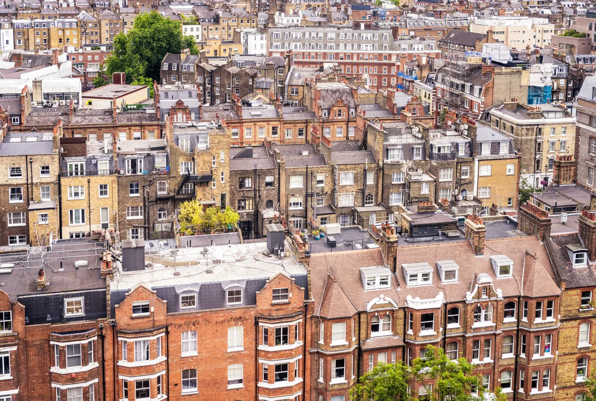
The cheaper neighbourhood is often the more expensive one

Across 50 neighbourhoods over three years, 126 pairs show the same inversion: the area with the lower headline price is the area with the more expensive flats and the more expensive terraced houses.

When I started this analysis, the first pattern I noticed was an odd pair on the south-east side of the map. Crystal Palace, the area built around the Victorian park and the broadcast mast, looked cheaper than nearby Catford. The median sold price in Crystal Palace was £35,000 below Catford's. On any property portal, Crystal Palace was the budget-friendlier option.

Then I looked at the flats.

The average sold flat in Crystal Palace cost about £40,000 more than the average sold flat in Catford. The average sold terraced house in Crystal Palace cost £37,000 more than the average sold terraced house in Catford. The cheaper neighbourhood was, on the actual properties you would buy, the more expensive one.

That seemed strange enough that I widened the window. The original observation came from twelve months of data. I re-ran the analysis over three years to see whether it was noise. It was not. Over a full 63,973-sale window, Crystal Palace is still £35,000 cheaper on the headline than Catford, and Crystal Palace flats are still 12% more expensive than Catford flats, and Crystal Palace terraced houses are still 6% more expensive than Catford terraced houses. Same direction, same magnitude, three years apart.

So I checked whether Crystal Palace and Catford were a freak. They are not. Across the 50 neighbourhoods I analysed, I found 126 pairs of areas where the same pattern holds: the area with the lower headline price is the area with the more expensive flats and the more expensive terraced houses.

The sharpest example sits closer to the first-time-buyer price band. Hither Green in Zone 3 has a median sold price of £437,750. Ilford, the larger area a few miles east in Zone 4, sits at £495,000. A first-time buyer scanning by headline price would conclude Hither Green is the £57,000 saving. They would be looking at the wrong number. The average flat sold in Hither Green over three years cost 43% more than the average flat sold in Ilford. The average terraced house cost 43% more. A buyer who picks Hither Green over Ilford to save £57,000 on the headline number is, in practice, paying about £100,000 more for the property they actually take ownership of.

There is a simple reason this happens. A neighbourhood's average sold price is an average over every type of property sold in the area. If two areas have very different property mixes — one heavy on small ex-local-authority flats, one heavy on larger Victorian terraces — the averages will sort by mix, not by property. The number on the portal is comparing what the area happens to contain, not what the area actually charges for what you are buying.

A first-time buyer is not buying a property mix. A first-time buyer is buying one specific flat, or one specific terrace. The number that matters is the number for that property type. The area average is, in most cases, a misleading proxy for the only number you should care about.

Apply it

Ask the agent — or look up on Land Registry directly — for the median sold price of the specific property type you intend to buy. Compare that number across your shortlist. Ignore the area average.

Finding two

Zone numbers do not measure your commute

Same Zone 4 area. £108,000 difference in headline price. Thirty minutes' difference each way on the commute. Every working day.

The Tube map is a Tube map. It is not a commute map. The fastest way to learn this is to look at peak journey times to the City from London neighbourhoods in the same fare zone.

Barking sits in Zone 4. The average sold price for the year I ran was £341,615 — the cheapest neighbourhood in the entire dataset. The peak journey time from Barking to Bank station on the District Line is 34 minutes, with three changes.

Hounslow also sits in Zone 4. The average sold price was £450,000. The peak journey time from Hounslow to Bank on the Piccadilly Line is 64 minutes, with two changes.

Same zone. £108,000 difference in sticker price. Thirty minutes' difference each way on the commute. Sixty minutes a day. Five hours a week, fifty weeks a year — the better part of a working week, every year, for as long as you live there.

The pattern repeats inside the more central zones too. Stratford and Brixton both sit in Zone 2. Stratford reaches Bank in 25 peak minutes for an average sold price of £440,000. Brixton reaches Bank in 33 peak minutes for £510,000. Same zone, Brixton is eight minutes slower and £70,000 more — yet "Brixton" reads to most people as the more central, more obvious choice. Once you stop using zone as the proxy, the actual numbers tell a different story.

Zones are radial. They are circles, drawn from Charing Cross outwards, that determine your fare. The rail lines that actually carry you to work are not radial. They follow nineteenth-century alignments and post-war extensions and the Elizabeth Line's east-west sweep across the city. A direct line from a Zone 4 station to a Zone 1 hub is often faster than a two-change Zone 3 trip. Zone is a fare concept; commute is a line concept; nobody markets the second one because the first one is on every map.

The single most actionable lesson I would take from this is that any buyer using "low zone number" as a proxy for "short commute" is buying the wrong proxy. The number to look at is the peak journey to wherever you actually work.

While we are here: a Zone 3 area called Upton Park reaches Bank in 29 minutes for an average price of £396,300. Walthamstow, the same zone, reaches Bank in 43 minutes for £575,000. Upton Park is faster by a quarter of an hour, and £179,000 cheaper. I do not know how many buyers would draw that comparison in their first month of research. I did not, before I ran the numbers.

Apply it

Open TfL Journey Planner. Enter the actual station you'd use as the origin, the actual destination you'd commute to, and 08:00 on a weekday as the time. Compare that figure across your shortlist. Ignore the zone number.

Finding three

The area-level crime number hides three to seven times the variation underneath

Hounslow Central records 354 crimes per 1,000 residents. Hounslow South records 52. The same area name, 6.8× apart.

Of every question a first-time buyer asks about an area, the most anxious one is "is it safe?" The way Google answers that question is by serving up a single number — a crime rate per thousand residents, or a colour-coded map, or a one-line verdict. The way the data actually answers it is much more interesting.

Almost every London neighbourhood has wards inside it that differ from each other by a factor of two, three, sometimes more than six. Crime is not evenly spread across an area. It clusters. It clusters where the footfall is, where the night-time economy is, where the transport hubs are, where the shopping centres are. The streets two minutes away from those clusters can have a fraction of the recorded crime, and the streets two minutes the other way can have a multiple of it.

The extreme example I found is Hounslow — the same Hounslow from the last section. The area-level crime rate is 138 incidents per thousand residents, modestly above the London average of 127. That looks like a tolerable middle-of-the-pack number. Inside Hounslow, the Hounslow Central ward records 354 incidents per thousand. The Hounslow South ward, fifteen minutes' walk away, records 52. Hounslow Central has 6.8 times the crime rate of Hounslow South. Both wards are inside the same area name. Both feed into the same Rightmove "Hounslow" listing. The estate agent will quote you the area number. Neither ward is the area number.

The pattern repeats almost everywhere. Wood Green has a ward 3.4 times worse than its quietest. Croydon has a ward 3.8 times worse than its quietest. Romford has a ward 3.1 times worse than its quietest. In every single multi-ward area I analysed, the gap between hotspot and quiet residential street was at least — usually — sometimes more.

Stratford deserves a paragraph of its own here. The area's top-line crime score looks alarming, and it drives a lot of bounced shortlists. Most of that score is theft — 5,188 recorded cases in the year to December 2025, concentrated at Westfield, the Stratford Centre, and the rail and Underground stations. Pickpocketing at a regional shopping mall is a real risk, but it is not what most buyers are asking about when they ask whether Stratford is safe. The people who live in residential Stratford, three streets away from the shopping centre, experience an entirely different crime profile from the one the area average implies.

The right question is not "is this area safe?" The right question is "which streets in this area, and what kind of crime, and at what time of day?" Police.uk lets you ask that question by postcode. It takes three minutes per area. The next time you find yourself afraid of a number on a property portal, that is the three minutes I would spend.

Apply it

Open data.police.uk. Enter the exact postcode of the property you're considering, not the area name. Look at the ward-level breakdown and the street-level map for the most recent three months. That's the number you should care about.

What this means if you only have one weekend

You don't need to research forever

If you have read this far, I owe you something useful, not just three things to worry about. Here it is, one question per finding — none of them requiring a property portal or an estate agent to answer.

1
On price. Ask for the price of the property type you would actually buy, not the area average.
2
On commute. Ask for the peak journey time to the station you would actually use, not the zone number.
3
On safety. Ask for the ward-level breakdown and the street-level map, not the area-level crime score.

If you do those three things for the next three neighbourhoods on your shortlist, you will know more about each of them than 95% of the buyers competing with you. None of it requires paying anyone. All of it is on government websites, ready to be looked at by anyone who knows where to look.

For the areas I have covered in depth so far, I have done that work and laid it out per neighbourhood: Brixton, Croydon, Hackney, Morden, Peckham, Stratford, and Walthamstow. Every figure on every page traces back to Land Registry, Ofsted, police.uk, or TfL, with a date stamp on the verification.

If your shortlist isn't on that list yet, the methodology in this piece works for any London area. The data sources are public. The questions to ask are the same.

Frequently asked

Frequently asked questions

Can you trust property portal data on London neighbourhoods? +
Property portal area pages — the "guide to Walthamstow" or "living in Peckham" pieces on Rightmove, Zoopla, and most estate-agent sites — are written to encourage transactions, because portals and agents earn from completed sales. The factual data on them (price history, schools nearby, transport links) is usually accurate as far as it goes, but it is presented to make every area look favourable. The honest framing rarely survives the editorial pass. For a balanced read, cross-check any portal area page against the underlying public sources: HM Land Registry for prices, Ofsted for school ratings, data.police.uk for crime, and TfL Journey Planner for commute times.
Are London zone numbers a good guide to commute time? +
No. Zones are concentric fare bands drawn from Charing Cross outwards. Commute time depends on which line you are on, how many changes the route requires, and whether the line runs directly to your destination. Across the 50 London neighbourhoods I analysed, a Zone 4 area can reach Bank in 34 minutes (Barking) or 64 minutes (Hounslow). Use the TfL Journey Planner peak-time figure for the station you would actually use, not the zone number.
How much does crime really vary within a single London neighbourhood? +
In every multi-ward area I looked at, the gap between the busiest and quietest wards was at least 2× the per-1,000-residents rate, usually 3×, sometimes more than 6×. Hounslow had the widest variation in this dataset: Hounslow Central recorded 354 crimes per 1,000 residents, while Hounslow South recorded 52 — a 6.8× difference inside the same area name. The area-level "crime score" buyers find on portals is an average that hides this variation. Use data.police.uk to check the ward and postcode you are actually buying in.
Is the average London property price misleading for first-time buyers? +
Often, yes. An area's headline average is calculated across every type of property sold there. If two areas have different property mixes — one with many ex-local-authority flats, one with mostly Victorian terraces — the headline numbers can sort in the opposite direction from the per-property-type numbers. In the 50 neighbourhoods I analysed, 126 pairs showed this inversion: the area with the lower headline average had the more expensive flats and the more expensive terraced houses. A first-time buyer is buying one specific property, not a mix — the price to compare is the price for the property type you would actually buy.
The next piece in the series

Want the next piece when it goes live?

Three follow-up pieces are in the queue — how to read an Ofsted rating, how to read a commute time, and how to read an area's crime score. One email when each one publishes. No spam, no marketing, unsubscribe anytime.

One email per new piece in this series — typically every four to six weeks. No spam, no marketing, unsubscribe anytime. See our privacy notice.