00 / Methodology
How the
record
gets made.
Every guide combines data from eight official sources, passes through four discrete stages, and gets human sign-off at each one. Here's exactly how — and what we do when we get it wrong.
01/
The four stages
Four stages. Two to three weeks per guide.
Every guide passes through four discrete stages before publication, with human sign-off at each one. No AI-written verdict, no unsourced figure — nothing reaches you without a citation and a date.
- I.Data collection. Pulled from eight official sources: HM Land Registry (prices), Ofsted and GIAS (schools), TfL (transport), the Met Police (crime), the ONS (demographics), Ordnance Survey (geography), and each London borough (council costs). Everything is structured into the same schema, so two guides can be compared directly.
- II.AI-assisted analysis. AI does the aggregation, cross-referencing, and first drafts. It flags data gaps and inconsistencies. It does not decide what to highlight, write the editorial verdict, or publish anything unreviewed. The voice, judgement, and balance of every guide is human.
- III.Editorial review. Five human checks before publication: data accuracy (numbers correct and sourced), balance (strengths and considerations both present), local accuracy (description matches the reality on the ground), completeness (every section populated), and readability (accessible without dumbing the data down).
- IV.Publish and update. A guide isn't static. Property prices refresh quarterly when new Land Registry data drops. Ofsted ratings update as inspections happen. Crime figures refresh monthly from data.police.uk. Council costs update each April. Every guide carries a "last updated" date so you can see exactly how current it is.
02/
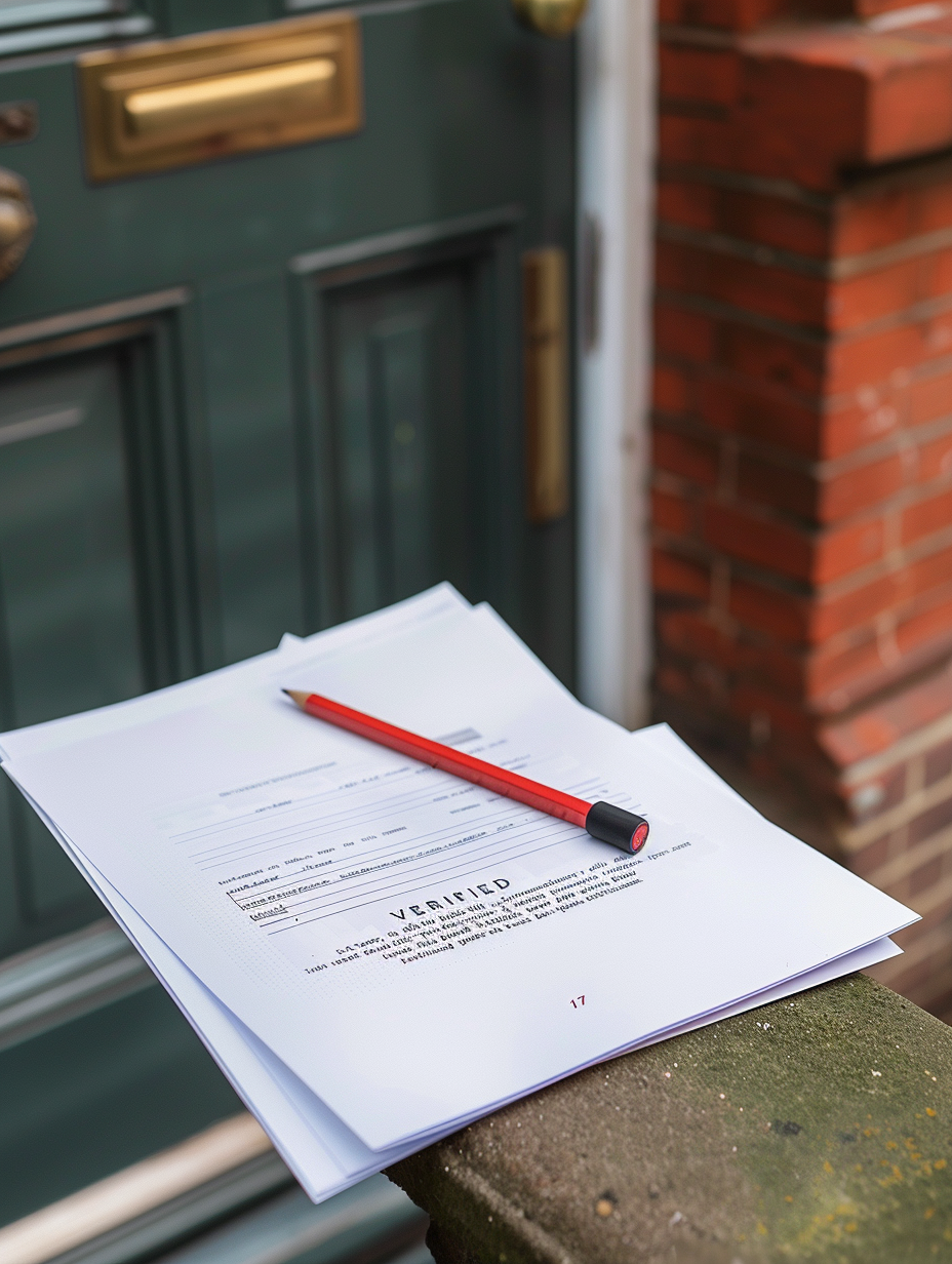
Corrections
When we get it wrong, we fix it — publicly.
Spot an error — a price that's out of date, an Ofsted rating that's changed, a station that's moved — and we'll investigate every report. Verified corrections are made on the guide openly, not silently.