Property Prices in Barking
Source: HM Land Registry Price Paid Data — median sold prices over a rolling 12-month window
What Your Budget Buys
Source: HM Land Registry.
Market Snapshot
Barking sits at £350,000 overall — a Zone 4 price point that reflects genuine transport access rather than a compromise location. The market here is split almost evenly between flats and terraced houses: 123 flat transactions and 120 terraced-house sales in the most recent 12-month window (HM Land Registry Price Paid Data, June 2026), which means buyers in either category have enough comparable sales to negotiate with confidence. Semi-detached houses trade at £520,000 on average from a thin market of 20 sales — scarcer, but the street fabric exists. There are no detached sales in the dataset, so this is not a detached-house market.
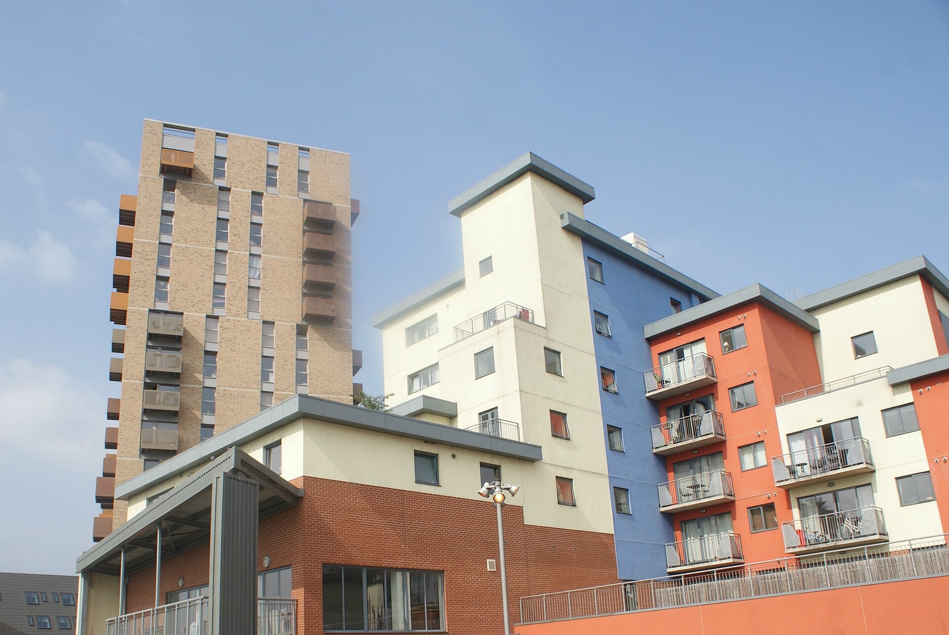
Flats average £234,000. New-build Barking Riverside stock and Victorian-era conversions near the station anchor the middle of the market; ex-local-authority flats on the Gascoigne and Thames View estates occupy the lower end. Terraced houses average £450,000, with period Edwardian and 1930s semi-suburban stock dominating. Price per square foot sits at £427 (HM Land Registry matched against EPC floor areas, June 2026) — competitive for Zone 4 with multi-line interchange access.
Price Trends and Context
Prices are broadly flat over the past 12 months, with a median shift of −1.9% (HM Land Registry rolling median comparison, June 2026). The three-year picture is modestly positive at +1.7% and the five-year trend at +2.9% — performance that tracks London’s outer east more than the sharper regeneration curves seen closer to Stratford. The Barking Riverside masterplan (440 acres, 10,800 homes approved) is the medium-term price catalyst: as infrastructure phases complete — particularly the Overground extension to Barking Riverside station — price momentum in the IG11 market is expected to build. Buyers who enter before major Riverside phases complete have historically seen the sharpest gains in comparable East London regeneration zones.
One material factor to price in: flood risk. Environment Agency modelling (NaFRA2, June 2026) places 30% of the neighbourhood at High surface-water flood risk, with River Thames and Roding flood risk rated Medium to High in the lower-lying streets east of the town centre. Individual property searches via the Environment Agency’s flood risk checker are essential before committing — flood insurance premiums vary significantly within IG11.
Leasehold dominates the flat market. New-build Riverside units will be leasehold; check lease length (minimum 125 years remaining), annual service charge (new-build schemes on the Riverside can run £2,500–£4,000 per year), and ground rent status before purchase.
Cross-Area Comparison
Barking sits below Ilford to the north in price and above Canning Town to the west — a middle position in the Zone 4 value corridor that runs from Stratford east along the District line. The neighbourhood offers more house stock and more suburban scale than Stratford at a lower headline price, but without Stratford’s Westfield or Elizabeth line access. Compared to Walthamstow further north, Barking lags on independent food and culture but leads on transport variety and regeneration upside. The overall value proposition is multi-line accessibility at outer London price levels — that combination is genuinely scarce within 25 minutes of the City.
Rental Yields
Two-bed flats in IG11 ask £1,750–£2,100 per month (Rightmove, August 2026 — asking rents, not achieved). Against £234,000, that puts gross yields at approximately 9–11% — well above the Zone 2–3 average and among the higher flat yields in outer east London. New-build Barking Riverside stock occupies the upper end of the range.
Three-bed properties (primarily apartments in the current lettings stock) ask £1,800–£2,115/month. Terraced house rentals are thinner on the market; buyers targeting a three-bed terraced for let should seek current comparables from local agents at purchase. Against £450,000, a rent of £2,000–£2,200/month implies a gross yield of approximately 5–6%.
The tenant profile skews toward young professionals and families commuting to Canary Wharf or the City. Void risk is low relative to comparable Zone 4 postcodes — the multi-line interchange makes Barking accessible to a broader range of workplaces than single-line suburban stations. Buy-to-let buyers should model net yield after service charge (material for new-build leasehold), agent fees, and void allowance.
Who’s Buying Here
Canary Wharf and City commuters who want zone 4 costs with 19-minute and 23-minute connections account for a significant share of the market. Families targeting Barking Abbey School (Outstanding, Ofsted January 2024) or Riverside School (Outstanding, October 2022) are active buyers: the combination of good schools at IG11 prices is rare within 30 minutes of the City. Buy-to-let investors focus on the Barking Riverside pipeline — first-mover advantage before further Overground extension phases deliver has driven investor interest since planning consent. First-time buyers stretching to a Zone 4 house purchase find £450,000 accessible when £234,000 in Zone 2 or Zone 3 is the alternative.
How Barking compares nearby
Median sold price, all property types, against the nearest comparable areas we cover.
HM Land Registry · prices last updated 5 August 2026
Schools in Barking

🏫 Primary
🏛 Secondary
Thames View Infants
Eastbury Primary School
Gascoigne Primary School
George Carey Church of England Primary School
Northbury Primary School
Ripple Primary School
Riverside Primary School
St Joseph's Catholic Primary School
St Margarets CofE Primary School
Thames View Junior School
Barking Abbey School, A Specialist Sports and Humanities College
Riverside School
Eastbury Community School
Greatfields School
Data: Ofsted, 2 September 2026
School Overview
Barking’s school provision is one of its strongest selling points. The area has 3 Outstanding-rated state schools — one primary and two secondary — across 20 schools in the broader IG11 catchment. Every Ofsted-rated school in the dataset holds a Good or Outstanding grade, a profile that matches or exceeds most outer-east London boroughs. For families, this is a genuine draw: Outstanding secondary access at Zone 4 prices is not common within 20 minutes of the City.
Primary Schools
Thames View Infants on Bastable Avenue is the standout primary — rated Outstanding at its most recent inspection (Ofsted, June 2024). The school pairs with Thames View Junior School (Good, Ofsted November 2021) on Samuel Ferguson Place to form a through-primary progression. Both serve the Thames View estate and surrounding streets.
The remaining nine Good-rated primaries cover the full IG11 geography. Eastbury Primary School (Ofsted February 2019), Gascoigne Primary School (Ofsted July 2013), Northbury Primary School (Ofsted December 2016), and Ripple Primary School (Ofsted May 2016) cover the central and north Barking streets. Faith provision includes St Joseph’s Catholic Primary (Ofsted September 2016) and St Margarets Church of England Primary (Ofsted March 2013). George Carey Church of England Primary on Minter Road (Ofsted October 2012) and Riverside Primary on Renwick Road (Ofsted July 2018) serve the southern, Thames-adjacent streets near Barking Riverside.
Note: Gascoigne, St Margarets, and George Carey last received full inspections before 2015. These ratings predate significant Ofsted framework changes. Treat them as indicative rather than current — re-inspection status should be confirmed via the Ofsted dashboard before relying on them for school choice.
Secondary Schools
Barking Abbey School, A Specialist Sports and Humanities College, on Sandringham Road is Outstanding (Ofsted January 2024). One of the most sought-after secondary places in the borough, its combination of recent Outstanding status and a wide curriculum (sports specialism, humanities, sixth form) makes it the primary target for families. Catchment competition is significant.
Riverside School on Renwick Road is Outstanding (Ofsted October 2022) and the top academic performer in the dataset: Progress 8 score of +0.78 and A-level average point score of 36.93 (DfE, 2023–24 academic year) — both well above national averages. Its location near Barking Riverside means it will serve the incoming development population as the masterplan phases complete.
Eastbury Community School (Ofsted July 2018) and Greatfields School (Ofsted June 2019) are both Good. Eastbury on Hulse Avenue and Greatfields on Net Street serve the central and western IG11 streets respectively.
Catchment Reality
[DATA NEEDED: last-offer admission distances for Barking Abbey School and Riverside School for the most recent published admissions round — pull from London Borough of Barking and Dagenham’s School Admissions pages. Anecdotally, Barking Abbey is oversubscribed and last-offer distances have tightened as the school’s Outstanding rating has driven applications from across the borough. Buyers targeting a specific secondary should verify catchment before committing to a property.]
The borough does not operate a grammar school system. There are no 11+ selective schools within Barking & Dagenham; the nearest grammar provision is in Redbridge (Ilford). Secondary admissions are distance-based with looked-after children prioritised.
Independent Options
Three independent schools are registered in the IG11 area on the GIAS register (August 2026): Al Madina School for Girls (IG11 8PY, secondary phase), Frobel Independent School (IG11 8TG), and Alamiyah School (RM8 2ES). None carries a published Ofsted or ISI inspection rating. Families seeking rated independent provision should look to neighbouring boroughs — Redbridge has ISI-rated independent schools accessible from Barking by bus or car. The schools_research_notes field in Supabase incorrectly states “2 rated Outstanding or Good” independent schools; that claim is not supported by the current GIAS data and should be corrected separately.
Transport & Commute: Barking
Commute Times
Source: TfL Journey Planner, 2026. All times are station-to-station (boarding to alighting); add 5–10 minutes for walking to your nearest station and waiting.
Rail and Tube
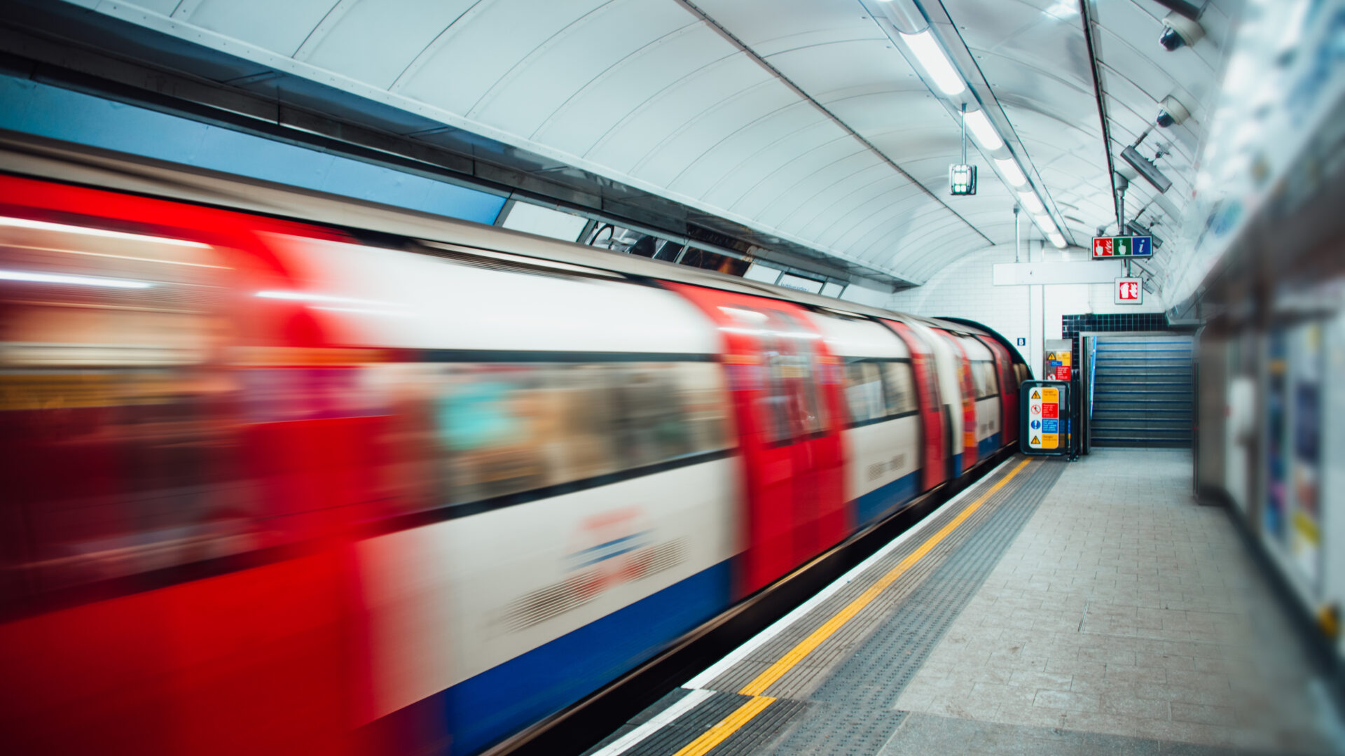
Barking station is one of the most versatile interchanges in outer east London: District line, Hammersmith & City line, c2c, London Overground, and National Rail all stop here. That breadth of access is unusual for Zone 4 — most comparable-priced areas operate on one or two lines at most. For City workers, the District and Hammersmith & City lines provide direct access to Liverpool Street and Bank without a change. For Canary Wharf workers, c2c and Overground provide 19-minute station-to-station connections. The National Rail c2c service also provides a Fenchurch Street option for those who prefer it.
The station sits 482 metres from the Ripple Road high street — a six-minute walk — which makes station-to-property times realistic rather than aspirational.
Barking is within the Ultra Low Emission Zone boundary. All vehicles driving in the IG11 area are subject to ULEZ requirements.
Bus Network
Twelve bus routes serve the area, covering connections to Ilford, Dagenham, Rainham, and east across to Romford. The 62, 87, and 145 are the most frequent town-centre services; the EL1 and EL2 East London routes provide cross-river access to Thamesmead. Bus frequency is strong during peak hours; late-night coverage is limited on most routes, with the last departure from Barking town centre on the 62 around 00:15.
Cycling and Walking
Barking’s terrain is flat, which makes cycling straightforward. The cycle route along the River Roding and into Beckton District Park avoids most A-road traffic. The A13 (Newham Way) creates a physical divide between the town centre and the Barking Riverside development — cycling south of the A13 requires using the underpass at Renwick Road. The National Cycle Network Route 13 passes through the borough; TfL Cycle Hire does not currently extend to IG11.
Walking times within the town centre are short: Barking Park is a 10-minute walk from the station; Abbey Green is 6 minutes.
Commute Times
| Destination | Journey time |
|---|---|
| Victoria | 40 min |
| Bank | 23 min |
| Waterloo | 28 min |
| King’s Cross St Pancras | 33 min |
| Liverpool Street | 20 min |
| Canary Wharf | 19 min |
| Westminster | 37 min |
(TfL Journey Planner, station-to-station. Peak weekday.)
Planned Improvements
The Barking Riverside extension of the London Overground is in delivery: a 4.5km single-track extension from Barking to Barking Riverside station, under the c2c bridge over the River Thames. The extension is designed to serve the 10,800-home Barking Riverside masterplan and will reduce car dependency for the new development. Completion date confirmation should be checked against TfL’s current programme, as delivery timelines have shifted. When operational, the extension will be the primary transport upgrade for IG11 buyers in the southern riverside streets.
Crime & Safety in Barking
Top Concern
Source: Metropolitan Police via data.police.uk · Population: ONS Census 2021 · Updated monthly
The Numbers
Barking’s residential crime rate is 175 per 1,000 residents (Metropolitan Police via data.police.uk, the latest 12-month period), 81% above the London average on a severity-weighted basis, with visitor and footfall-driven theft excluded from the residential rate. The 12-month trend is stable, with a marginal +1.3% movement — the picture is not improving rapidly, but it is not deteriorating. Violence and sexual offences are the most common category, accounting for 26% of total recorded crime.
What the Data Tells You
The aggregate rate conceals meaningful internal variation. Abbey ward (town centre and A13 corridor) records roughly twice the crime rate of Gascoigne ward (the residential estate area north of the town centre) — an approximately 80% gap within a single neighbourhood boundary (Metropolitan Police, crime_spatial_pattern data). This internal range matters: buyers on quiet residential streets in Gascoigne or Thames View experience a substantially different safety environment than those in or immediately adjacent to the town centre.
Violence and sexual offences at 26% of total crime is broadly consistent with outer London boroughs of similar density, but it is a higher absolute volume than areas with lower overall rates. Theft from the person and vehicle crime follow as secondary categories, driven partly by the station interchange footfall.
Street-Level Context
Commercial Ripple Road, Vicarage Field Shopping Centre, and the immediate station area generate a significant share of recorded incidents — this is characteristic of any busy interchange district. The residential grid east and north of Ripple Road (Sandringham, Westbury, Upney streets) is considerably quieter by most measurable indicators. Barking Park, open during daylight hours, records low incident rates. The southern riverside streets near the Barking Riverside development site see lower crime volumes, partly because the population density there remains low ahead of the main residential phases completing.
What Residents Say
[DATA NEEDED: resident survey or community forum data specific to Barking IG11. Qualitative context from local sources (Barking & Dagenham Council quality of life surveys, Nextdoor IG11 aggregates) would strengthen this section. The spatial pattern data above reflects the most defensible current position.]
Unlock the Complete Barking Guide
You’ve seen the headline data. Get the full picture — detailed narratives, council costs, community character, and our editorial verdict.
- 🎓 In-depth school, transport & crime analysis
- 🏛 Council tax & parking costs
- 🏘 Community character & local vibe
- ⭐ Editorial verdict, value assessment & future outlook
- 📦 Moving practicalities
By unlocking, you’re happy for us to email you this guide plus the occasional helpful update from Property Around London. No spam — unsubscribe anytime.
Council Fees in Barking
Council Tax (Annual)
| Band C | Band D | Band E |
|---|---|---|
| £1,954 | £2,198 | £2,687 |
Parking
Source: London Borough of Barking and Dagenham, 2026
Council Tax Bands
London Borough of Barking and Dagenham council tax rates for 2025/26:
| Band | Annual rate |
|---|---|
| Band A | £1,465 |
| Band D | £2,198 |
| Band H | £4,396 |
Band D (£2,198) is the standard benchmark. Band A is calculated at 6/9ths of Band D; Band H at double. Confirm current-year rates against the council’s published schedule at lbbd.gov.uk before purchase completion, as rates are set annually in March.
Local Authority Services
Barking and Dagenham is one of the lower-cost London boroughs for council tax at Band D — a meaningful factor for buyers on a fixed budget. The council runs a CPZ across residential streets: permits are available for vehicles that meet the ULEZ standard, and non-compliant vehicles face additional charges. The CPZ operates Monday to Friday, 8am to 6:30pm.
Waste and Recycling
General household waste is collected weekly. Recycling (mixed dry recyclables) is fortnightly. Garden waste collection costs £40 per year. Bulky item collection (sofas, white goods, mattresses) costs £35 per item. These are mid-table figures for outer London; no major outliers.
Libraries and Leisure
The Barking Learning Centre on Town Square houses the main lending library alongside adult education, a café, and community meeting rooms. Abbey Leisure Centre on Axe Street provides a swimming pool, gym, and fitness classes; Barking Sporthouse on Longbridge Road serves the eastern residential streets. Both leisure centres are operated under the council’s leisure trust arrangement — check current membership pricing and opening hours at lbbd.gov.uk/leisure.
Barking Community Character
Source: Google Maps, OS Open Greenspace & editorial research, 2026

Barking sits in Zone 4 within the London Borough of Barking & Dagenham. Barking centers around Barking station where Ripple Road and Vicarage Field Shopping Centre form the main shopping areas.
Barking is East London’s most dynamic value play, offering average prices of £350,000 with District, Hammersmith & City, c2c and Overground lines delivering Bank in 23 minutes and Canary Wharf in 19.
How We Score
The PAL Score rates Barking on six criteria drawn from verified data — transport access, school quality, safety, green space, property value, and local amenities — and combines them into a single 0–100 rating. Scores are z-score normalised across all London neighbourhoods, so a score of 50 means the London median; above 50 means above average, below 50 means below. Weights shift by buyer persona (the score you see is the base score; the persona-weighted version appears in the Audience Match section).
The Breakdown
| Criterion | Score (/100) | What it means |
|---|---|---|
| School Quality | 67 | Strong provision: two Outstanding secondaries and one Outstanding primary; above-median performance in London’s schooled market |
| Property Price Affordability | 62 | Zone 4 pricing with multi-line access represents genuine value relative to equivalent connectivity in inner London |
| Transport Connectivity | 52 | Five-line interchange delivers strong links but Zone 4 positioning and lack of Elizabeth line keep the score below the top tier |
| Green Space Access | 48 | Barking Park (75 acres) and Abbey Green (16 acres) provide solid provision; score reflects middling overall green space density |
| Local Amenities | Not scored | High street retail, major supermarkets, and a covered shopping centre are present but the offer sits outside PAL’s six scored criteria |
| Safety | 0 | Severity-weighted crime is 81% above the London average (violence and sexual offences account for 26% of recorded crime); score sits at the clip floor of the z-score distribution |
Scores use the PAL 0–100 scale, z-score normalised across all London neighbourhoods. Local amenities are described here but sit outside the six scored criteria, so they carry no score and do not affect the overall figure.
What This Means for You
Barking scores 44/100 on the PAL Score, reflecting a neighbourhood where education and value credentials are genuine, transport is functional, and crime is a measurable drag. The scoring gap between School Quality (67) and Safety (0) captures the central trade-off in Barking: excellent schools and strong connectivity at a price point that comes with higher-than-London-average crime. Buyers who weight schools and transport heavily will find the criteria that matter most to them score well. Buyers who weight safety most highly will find the score reflects accurately what the data shows.
The score will move as Barking Riverside completes, green space increases, and the regeneration effect on crime trends becomes measurable. The current figure is a point-in-time read, not a ceiling.
✗ May Not Suit
💰 Value Assessment
At £380,799 average, Barking is one of London’s most affordable Zone 4 options with multi-line transport. Flats from £112,000 (average £258,000) represent outstanding value. Terraced houses from £200,000 (average £457,000) deliver family space at prices inner London can’t match. Year-on-year growth of 5% reflects regeneration confidence.
Our Recommendation
Who's Barking for?
Barking could be a strong fit if you:
- Commute to Canary Wharf or the City and want Zone 4 costs. The District, H&C, c2c, and Overground deliver 19 minutes to Canary Wharf and 23 minutes to Bank — connections that cost significantly more to live near in Zones 2 and 3.
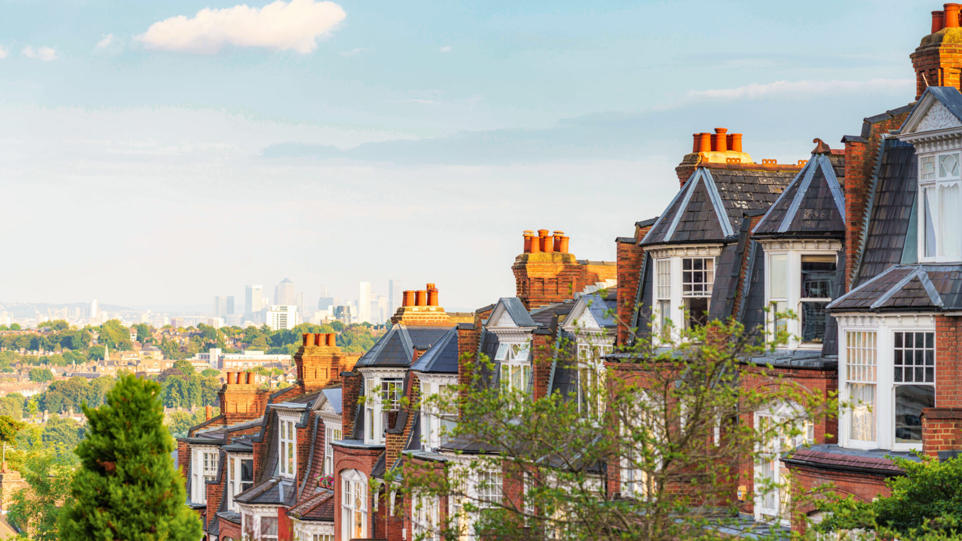
- Want a family-sized terraced house for under £450,000. Three-bed Edwardian and 1930s terraces at this price are difficult to find within 25 minutes of the City; Barking provides them with off-street gardens.
- Are targeting Outstanding secondary education without grammar competition. Barking Abbey and Riverside School are both Outstanding; the borough has no 11+ selective system, so places allocate on proximity, not exam performance.
- Are a first-time buyer choosing between a Zone 3 flat and a Zone 4 house. £450,000 buys a terrace in Barking; the same money buys a mid-range flat in most Zone 3 postcodes. If outdoor space and bedroom count matter more than postcode prestige, the arithmetic points east.
- Are weighing Barking Riverside as a ten-year investment. The infrastructure trajectory — Overground extension, 10,800-home masterplan, community facilities — follows the pattern of areas that saw material price appreciation once delivery reached critical mass.
Think twice if you:
- Need an established independent food and culture scene now. The restaurant and bar offer is improving — particularly around the Turkish and Mediterranean independents on Ripple Road — but it lags visibly behind Walthamstow or Peckham. If evening culture drives your quality-of-life assessment, this gap is real.
- Are uncomfortable with crime at 81% above the London average. The residential figure of 175 per 1,000 is material; while it falls substantially in quieter residential streets, buyers who weigh safety heavily should research specific streets rather than rely on the area headline.
- Expect heritage streetscapes and period character throughout. Barking’s conservation zone covers 8.75% of the area and focuses around Abbey Green and the medieval core. The wider IG11 residential grid is post-war estate and interwar semi-detached — functional, but not architecturally notable.
- Rely on the Elizabeth line. Barking has no Elizabeth line service; the nearest hub is Ilford (3.3km north). If your commute pattern favours Crossrail destinations (Heathrow, Reading corridor, Farringdon), Ilford is a more straightforward choice.
- Cannot absorb flood risk uncertainty. Thirty percent of the neighbourhood carries a High surface-water flood risk rating. If your specific property falls in a flood zone, insurance costs and mortgage availability can be affected — buyers must check individual addresses via the Environment Agency before exchange.
The Real Picture
Barking is a transport corridor with a regeneration overlay and better schools than its reputation suggests. The town centre is functional rather than attractive — Ripple Road and Vicarage Field are workmanlike shopping districts, not destinations — and the crime figures are real. But for buyers whose priority is a house, not a flat, within half an hour of the City, at a price point that’s been squeezed out of Zone 3, the IG11 calculation works. The people who settle here happily tend to care about schools and square footage more than café density or postcode cachet, and they’re typically right that the Barking Riverside trajectory will prove them right within a decade.
Note: this Verdict section routes to audience_fit_detail, not editorial_verdict. Do not auto-push until extract_and_push.py supports audience_fit_detail routing (publisher v2.x).
Moving to Barking: The Practical Side
Council Tax
London Borough of Barking and Dagenham charges £2,198 at Band D for 2025/26. The full band table:
| Band | Annual |
|---|---|
| Band A | £1,465 |
| Band D | £2,198 |
| Band H | £4,396 |
Band A covers smaller flats and lower-value properties. Band D (£2,198) is the most common reference point for comparison. Band H is twice Band D. Single occupant discount (25%) reduces the annual bill by £2,198 × 0.25. Confirm current-year rates at lbbd.gov.uk/council-tax; the council sets rates each March.
Parking
Barking operates a Controlled Parking Zone across residential streets, running Monday to Friday, 8am to 6:30pm. Annual resident permits cost £65 — one of the lowest charges in the PAL dataset. A second vehicle permit costs £130. Visitor permit books are available from the council; visitor day permits cost £5.
Outside CPZ hours (weekday evenings and weekends), on-street parking in residential zones is unrestricted. The Vicarage Field Shopping Centre and station car parks are the primary paid options for visitors; rates vary by duration.
All vehicles using roads in IG11 must meet the ULEZ standard. Petrol vehicles from 2006 onward and diesel from 2015 onward are generally compliant; check your specific registration at tfl.gov.uk/modes/driving/ultra-low-emission-zone.
The area has 52 electric vehicle charging locations across the postcode (OpenChargeMap, June 2026) — a growing network as Barking Riverside charges are added as the development phases complete.
GP Surgeries
There are 22 GP practices registered within the IG11 catchment area (Care Quality Commission, June 2026). Of those with published ratings, 71.4% hold a Good CQC rating.
GP practices within 2km of Barking station identified via OpenStreetMap (August 2026 — lead list only; verify CQC rating and accepting-patients status at cqc.org.uk and nhs.uk/service-search/find-a-gp before publishing): Tulasi Medical Centre (188 Ripple Road, IG11 7PR), Victoria and Five Elms Medical Centre (1 Queen’s Road, IG11 8GD), Ripple Road Medical Centre (364–370 Ripple Road, IG11 9RS), Abbey Medical Centre, and Highgrove Surgery. [DATA NEEDED: CQC inspection ratings and current accepting-patients status for each — cite CQC with access date at publication.]
Nearest hospital: Newham University Hospital, Glen Road, E13 8SL (King George Hospital in Goodmayes, IG3, is a closer alternative for IG11 east residents — confirm the closest A&E for your specific address). Newham University Hospital is rated Requires Improvement by the CQC (June 2026).
Utilities and Broadband
Barking is within the ULEZ zone; standard Ofgem energy price cap applies. Average energy costs for IG11 follow London outer-east norms — [DATA NEEDED: EPC-derived average energy cost for IG11 properties — use MHCLG EPC data to extract median estimated annual energy cost for IG11 at time of publication].
[DATA NEEDED: full-fibre (FTTP) availability percentage for IG11 — not published as a standalone neighbourhood figure. Openreach reports southeast England averages; confirm local availability at checker.ofcom.org.uk for specific addresses.]
Major broadband providers with documented coverage in IG11 include Openreach-based suppliers (BT, Sky, TalkTalk, Plusnet) and Virgin Media (cable); availability is address-dependent.
Removals and Access
IG11 presents no major access obstacles for removal vehicles. Ripple Road and the surrounding arterial network are wide enough for large vehicles without permits. Residential side streets off Ripple Road are Edwardian terrace width — standard removal van access, but tight for two vehicles passing. Vicarage Field Shopping Centre’s service roads may have height restrictions; removal companies accessing properties in the town centre block should confirm routing in advance.
CPZ loading restrictions on Ripple Road operate during CPZ hours (Mon–Fri 8am–6:30pm); removal jobs on these streets should be scheduled early morning or outside CPZ hours where possible, or a Loading Bay dispensation requested from Barking & Dagenham council.
For Barking Riverside properties, access is via the A13 junction at Renwick Road. New-build developments will have site-specific access arrangements — confirm with the developer or managing agent before booking a removal company. Nearby self-storage: Access Self Storage Barking on Hertford Road, IG11.
Frequently Asked Questions
Common questions about living in Barking, answered with data from our research.
The overall average across all property types in Barking is £350,000 (HM Land Registry Price Paid Data, June 2026). Flats average £234,000 and are the most traded type; terraced houses average £450,000, with period Edwardian and 1930s stock making up most of the market. Semi-detached homes average £520,000. There are no detached sales in the dataset. Prices have been broadly flat over 12 months; the medium-term catalyst is the Barking Riverside development (10,800 homes approved on a 440-acre riverside site with an Overground extension in delivery).
Barking station is a five-line interchange: District, Hammersmith & City, c2c, London Overground, and National Rail. Bank takes 23 minutes station-to-station on the District or Hammersmith & City line; Liverpool Street 20 minutes; Canary Wharf 19 minutes via c2c or Overground. Victoria is 40 minutes on the District line direct. These are station-to-station times on TfL Journey Planner (peak weekday); add 5–10 minutes for the walk from IG11 residential streets to Barking station.
Barking has 3 Outstanding-rated state schools: Thames View Infants primary (Ofsted, June 2024), Barking Abbey secondary (Ofsted, January 2024), and Riverside School secondary (Ofsted, October 2022). Riverside School is the top academic performer, with a Progress 8 score of +0.78 and an A-level average point score of 36.93 (DfE, 2023–24). Every Ofsted-rated school in the IG11 dataset holds a Good or Outstanding grade. The borough has no grammar school system; secondary places at sought-after schools are allocated by proximity, so buyers targeting specific schools should verify their address falls within the relevant catchment before committing.
Barking’s residential crime rate is 175 per 1,000 residents (Metropolitan Police via data.police.uk, the latest 12-month period), 81% above the London average. The 12-month trend is stable. The headline rate conceals significant internal variation: quieter residential streets in Gascoigne and Thames View record materially lower rates than the town centre and Ripple Road commercial zone. Violence and sexual offences make up 26% of total crime. Buyers should search crime data by specific street via data.police.uk to get a more granular picture than the neighbourhood aggregate provides.
Council tax at Band D in the London Borough of Barking and Dagenham is £2,198 per year (2025/26). Band A is £1,465 (6/9ths of Band D); Band H is £4,396 (double Band D). Single occupants receive a 25% reduction. Residents also pay for services separately: garden waste collection costs £40 per year; bulky item removal costs £35 per item. Resident parking permits in the CPZ are £65 per year — one of the lowest charges in the PAL dataset. Full rates and payment options at lbbd.gov.uk/council-tax.
The two areas serve different buyer profiles rather than one being straightforwardly better. Ilford sits at Zone 3–4 (depending on the station) with Elizabeth line access at Ilford station — a major advantage for Crossrail-dependent commuters. Barking is firmly Zone 4 but offers a richer multi-line interchange (five services versus Ilford’s two primary services) and stronger school provision within the immediate neighbourhood. Barking Riverside’s development pipeline has no Ilford equivalent in scale. Property prices in Barking are broadly comparable or modestly below Ilford for equivalent types. The choice depends on commute pattern (Elizabeth line versus multi-line flexibility) and whether the Barking Riverside regeneration thesis appeals.
Yes, with caveats. The school provision is strong: 3 Outstanding-rated schools, including two Outstanding secondaries, is a meaningful density for Zone 4. Barking Park (75 acres with a boating lake, splash park, and Parkrun route) and Greatfields Park provide family-viable green space within a 15-minute walk of most residential streets. The trade-off is crime: the neighbourhood’s residential crime rate is 81% above the London average, which families with children may weigh against the education and green space advantages. Street-level context matters — quieter residential streets in Thames View and Gascoigne read differently from the town centre environs.
Barking Riverside is a 440-acre development site on a former industrial and power station site on the north bank of the Thames, south of the A13. Planning consent covers 10,800 new homes alongside retail, community, and leisure facilities over a 15–20-year masterplan. The associated infrastructure commitment is the Overground extension from Barking station to a new Barking Riverside station — a 4.5km line that will be the primary transport link for the southern residential phases. Early phases of the residential development are occupied; later phases are completing progressively. Buyers considering Barking Riverside should verify current completion status, phase-specific timelines, and associated service charges with the developer or agents.
Thirty percent of the Barking neighbourhood is rated at High risk of surface-water flooding by the Environment Agency (NaFRA2 assessment, June 2026). River Thames and River Roding flood risk is rated Medium to High in low-lying streets east of the town centre and in the Barking Riverside area. This is a material factor for IG11 buyers: flood risk affects home insurance availability, premiums, and in some cases mortgage approval. Before exchanging contracts on any Barking property, run an address-level flood risk check via the Environment Agency’s Flood Risk for Planning service and request a flood risk search from your solicitor. Properties on elevated ground — the streets north of Ripple Road, away from the Roding — typically carry lower risk than those in the riverside corridor.
Data from HM Land Registry, Ofsted, Metropolitan Police & TfL. Page last regenerated 31 August 2026.
Moving to Barking?
Get our free moving checklist and local tips delivered to your inbox.
No spam. Unsubscribe anytime.